Geographical Index
/
Historical Toponyms /
Novgorod Land /
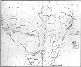
Vodskaya Pyatina ("Fifth") (The territory of Novgorod Land located between rivers the Luga and the Volkhov and on the shores of Ladoga Lake)
Vodskaya Pyatina ("Fifth") (The territory of Novgorod Land located between rivers the Luga and the Volkhov and on the shores of Ladoga Lake)
Group name
Novgorod Land
Mentioned in articles:
|
hidden
|
Lyuban, town
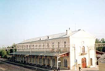
LYUBAN, a town in Tosno District. Population: 4,600. It is situated on the Tigoda River. The town is crossed by the St. Petersburg-Moscow railroad line; it is connected to other localities of the district and oblast with motor roads. The town’s... more
|
|
|
|
hidden
|
Mga River, the
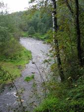
MGA, a river, left-hand tributary of the Neva. Length: 55 km. Average flow rate in the mouth: 5.3 cu. m / s, catchment area: 709 sq. km. It flows out of Lake Maluksinskoye in the central part of Leningrad Oblast and it flows into the Neva within... more
|
|
|
|
hidden
|
Pyatinas
PYATINAS, adm. and territorial regions of the core Novgorod Land as part of a united Russian State in the late 15th – 17th century. They are known from written sources (scribe rolls and deeds) from the late 15th century. There were five P.... more
|
|
|
|
hidden
|
Sapyornoye, settlement
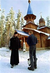
SAPERNOYE (Finnish Venaja Valkjarvi / “Russian White Lake” before 1948), a settlement in Priozersk District. Population: 3300. Located at Lake Sapernoye (former Beloye / Valkjarvi). Settlements in the place of S. were already known in the mid-16th... more
|
|
|
|
hidden
|
Shapki, settlement
SHAPKI, a settlement in Tosno District. Population: 549. Located at Shapki railway station (branch connecting the settlement to Tosno Town.) Located at the Shapki Heights (their shapes remind caps, “shapki”, therefore the name) – kame hills reaching... more
|
|
|
|
hidden
|
Tigoda River, the
TIGODA, river, left-hand tributary of the Volkhov. Length: 143 km, average flow rate: 4.21 cu. m/s, catchment area: 589 sq. km. It originates among the bogs in the extreme south of Tosno District north-east of Ogorelye railway station. In its upper... more
|
|
|
|
hidden
|
Tosno District
TOSNO DISTRICT, municipal entity. Located in the south of the central part of Leningrad Oblast, bordering Gatchina District in the west, St. Petersburg in the north-west, Kirovsk District in the north-north-west, Kirishi District in the east,... more
|
|
|
|
hidden
|
Tosno, town
TOSNO, town, adm. center of Tosno District. Population: 38,700.It is situated on the banks of the Tosna River (most of the town is on the river’s left bank.) Its was named by the river’s name having an Baltic or Slav origin. The town is at the... more
|
|
|
|
hidden
|
Vyritsa, urban settlement
VYRITSA, an urban settlement in Gatchina District. Population: 13,700. It is situated on the Oredezh River. The name evidently originates from the Russian word “vyr’” meaning “deep” or “whirlpool.” The largest dacha settlement in terms of area... more
|
|
|
|
hidden
|
Zaporozhskoye, settlement
ZAPOROZHSKOYE (Finnish Metsapirtti = “wood hut” before 1948), a settlement in Priozersk District. Population: 1900. In the 1499/1500 scribe roll of Vodskaya Pyatina it is mentioned as “Na cheperte” village. In 1792, a Lutheran church was built... more
|
|
|
|


